




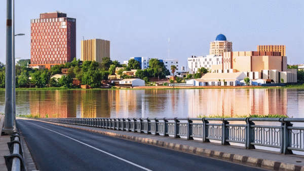









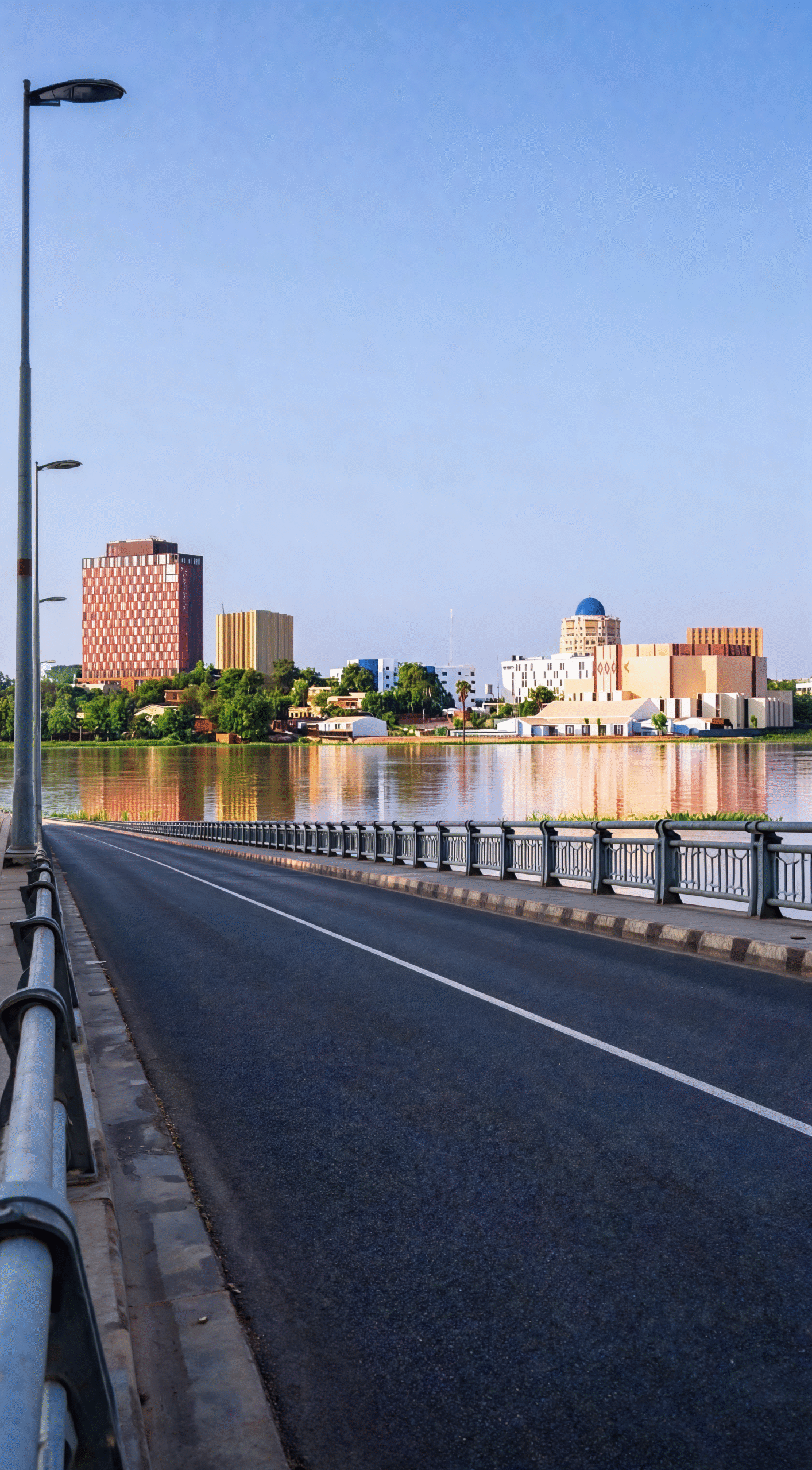
The water level of the Niger River in the capital, Niamey, rose above the yellow alert threshold on Tuesday, prompting local authorities to urge residents, particularly those living along the riverbanks, to exercise caution and follow the instructions of civil protection services.
Water level and flow figures
The governor of the Niamey region, in his capacity as director of rescue operations, said the water level reached 538 centimeters at 7 a.m. on October 6, exceeding the yellow alert level set at 530 centimeters.
According to measurements taken by hydrology services, the flow rate stood at 1,444 cubic meters per second.
The governor explained that the level at which the river would overtop the protective dikes in the Saga, Lamordé and Kirkissoye areas is 700 centimeters, but stressed that reaching the yellow alert threshold calls for heightened vigilance and readiness in case the water continues to rise.
Safety instructions for residents
On the recommendation of the Niamey operations coordination center, authorities asked residents to use reliable boats operated by experienced people, to avoid overloading them, and not to cross the river at night.
They warned against any actions that could compromise the integrity of the dikes lining the river, and called for clearing the watercourse and moving away property and equipment at risk of being swept away.
Authorities also urged farmers and herders to consult the relevant technical services before carrying out any farming or grazing activities near the river.
Residents were asked to follow the hydrological vigilance bulletins and warning messages issued by the operations coordination center, and to call the toll-free number 18 to alert local authorities in the event of any emergency.
The alert scale: four levels of risk
Niamey authorities use four alert levels to monitor flood risk on the Niger River:
- Green: the level is below 530 centimeters, meaning the situation is normal.
- Yellow: begins at 530 centimeters and calls for vigilance against possible flooding.
- Orange: begins at 580 centimeters and signals a major threat of the river overflowing its banks.
- Red: begins at 620 centimeters and means critical danger and a high likelihood of widespread flooding.